Home
About
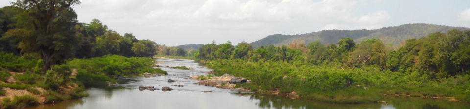
The Western Ghats mountain range is a global biodiversity hotspot located on the western edge of peninsular India. It is a complex mosaic of natural and degraded forests and agro-ecosystems under intense human use and dependency, and is one of India’s most important regions from the point of ecosystem services, especially hydrology and carbon.
The properties and functions of natural forest ecosystems regulate how rain water is partitioned into surface flow, sub-surface flow, groundwater and evapotranspiration and also the export of sediment in streams. They also determine how and how much carbon is fixed, stored and lost from these ecosystems. We know very little about how hydrologic and carbon functions of ecosystems respond to extreme rain events (lots of rain per hour) and high intensity rain. Extreme rain events are occurring with greater frequency and are likely to increase in the future, with climate change impacting the ghats.One of the gaps in our knowledge is how such extreme rain storms are distributed over space and time, and how this spatial distribution of rain events interacts with different land-use and land-cover in large landscapes to influence hydrology and carbon dynamics. We also do not know how such increased rainfall variability is likely to interact with smaller-scale processes, such as deforestation and degradation, to influence the provisioning of ecosystem services to humans in landscapes such as the Western Ghats.
This project aims to understand the nature of extreme rainfall events and hydrologic and carbon regulatory effects of forest degradation and reforestation. It will enable us to assess the ability of different ecosystems--natural forests, degraded forests, reforested sites and agro-ecosystems- to perform these functions under future conditions of high intensity or extreme rain events. It will also help agricultural planners determine the sustainability of agricultural land-use under conditions of extreme rain. Information such as best possible sites to target for restoration, along with advice on vegetation type, will be useful to projects such as the Green India Mission
Project objectives are to:
- Understand the spatial and temporal dimensions of extreme rain events (ERE) in the Western Ghats in relation to spatial patterns of land-cover and land-use.
- Determine the hydrologic and carbon dynamics consequences of existing land-cover and land-use, including large scale forestation in the Western Ghats and adjacent Deccan plateau.
- Assess the hydrologic and carbon vulnerability of ecosystems, natural, semi-natural and agro-ecosystems, to extreme rain events at various spatial scales.
- Prioritize sites in the Western Ghats and adjacent Deccan plateau for restoration under Green India Mission and other watershed management programmes.